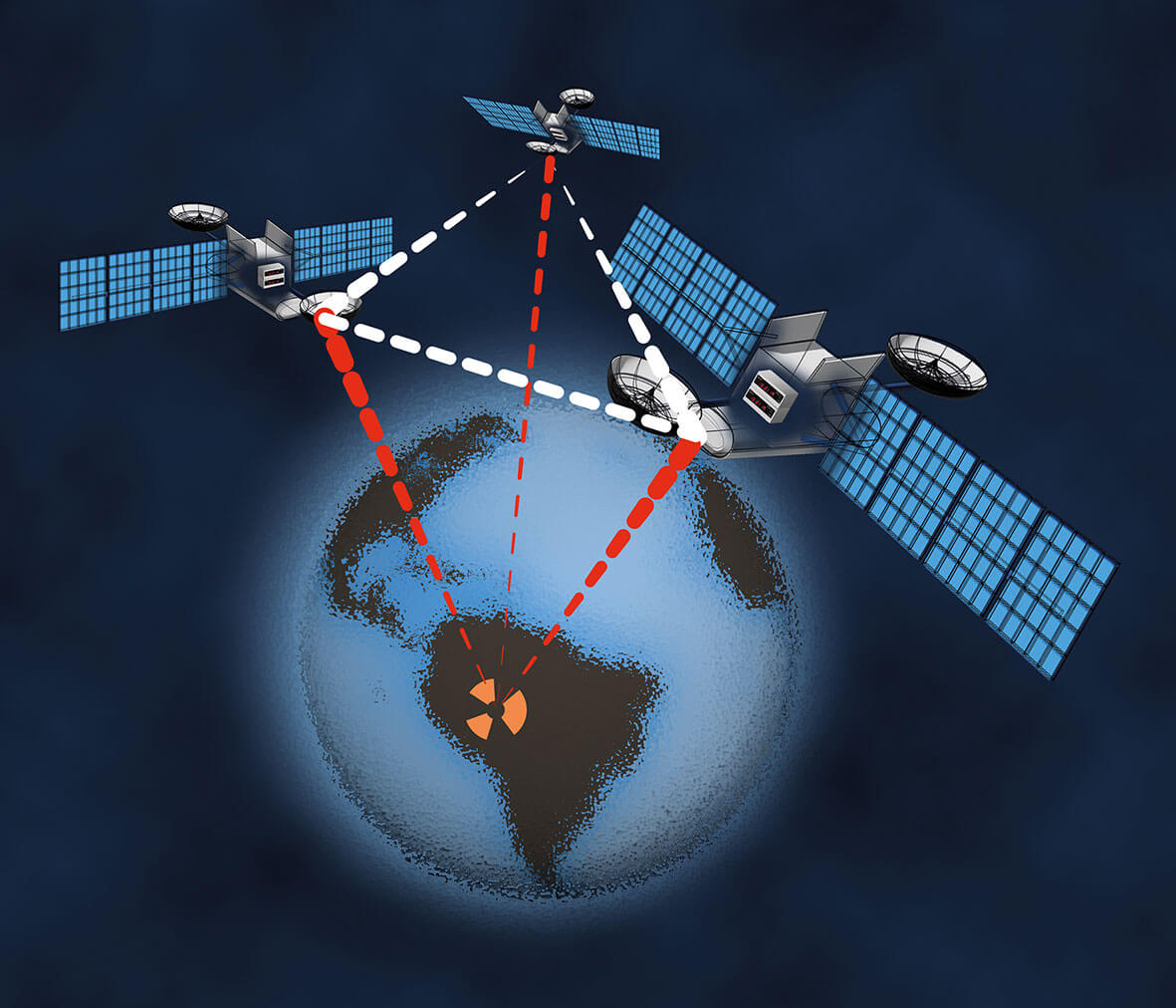
For decades, the trusty paper map reigned supreme in the world of navigation. But with the advent of sophisticated GPS navigation systems, many are questioning the relevance of the traditional map. Can a GPS navigator truly replace its paper predecessor? The answer, as with most things, is nuanced. While GPS navigators offer impressive capabilities, the traditional map still holds its own ground in specific situations.
The Rise of the GPS Navigator: Convenience and Precision

The convenience of a GPS navigator is undeniable. Instant route calculations, real-time traffic updates, voice guidance, and even points of interest (POIs) like restaurants and gas stations at your fingertips – these are features that paper maps simply can’t match. The precision offered by satellite technology far surpasses the estimation involved in interpreting a map. Finding a specific address in an unfamiliar city becomes significantly easier with a GPS, and the ability to reroute instantly when encountering unexpected road closures is a game-changer for efficient travel.
Modern GPS systems are also incredibly user-friendly. Many offer intuitive interfaces, clear visuals, and various customizable settings. Some even integrate with your smartphone, allowing for seamless access to music, calls, and other apps while navigating. This level of integration makes the GPS an indispensable tool for many drivers, transforming the driving experience from a potentially stressful endeavor into a smoother, more informed one.
The Enduring Value of Traditional Maps: Reliability and Offline Capabilities
While GPS technology has made giant strides, it’s not without its limitations. The most significant drawback is its reliance on a functioning GPS signal and a reliable internet connection for features like real-time traffic updates. In remote areas with poor or no signal, a GPS navigator is essentially useless. This is where the traditional map shines. It’s completely independent of any external technology; it works everywhere, anytime.
Furthermore, traditional maps offer a broader, more holistic view of the area. While a GPS focuses on a single route, a map allows you to see the surrounding context, alternative routes, and a broader geographical perspective. This is incredibly valuable for planning long journeys, understanding the lay of the land, and anticipating potential challenges.
Consider situations like severe weather events or natural disasters. If the cellular network goes down, GPS systems fail. But a paper map remains a dependable, reliable backup navigation tool. This inherent robustness of traditional maps makes them a valuable asset even in the age of advanced technology.
Comparing Features: A Head-to-Head

To further illustrate the comparison, let’s look at specific feature comparisons:
| Feature | GPS Navigator | Traditional Map |
|---|---|---|
| Route Calculation | Instant, with various options | Requires manual planning and interpretation |
| Real-time Updates | Traffic, speed cameras, road closures | No real-time updates |
| Offline Functionality | Limited or requires pre-downloaded maps | Fully functional offline |
| Scale and Context | Limited view, focused on route | Broader geographical perspective |
| Cost | Initial purchase plus potential subscription fees | One-time purchase (relatively inexpensive) |
The Future of Navigation: A Hybrid Approach

Increasingly, the trend is moving towards a hybrid approach. Many people utilize both GPS navigators and traditional maps, leveraging the strengths of each. The GPS handles the day-to-day navigation, providing convenience and efficiency in familiar areas. However, the traditional map serves as a vital backup in areas with poor signal, during emergencies, or for long journeys requiring more comprehensive geographical understanding.
Furthermore, technological advancements are bridging the gap. Digital map applications offer offline map downloads, partially addressing the connectivity issue of GPS devices. These applications often include features found in dedicated GPS devices, such as route planning, traffic updates, and POI information.
Conclusion: A Symbiotic Relationship

The question isn’t whether a GPS navigator can *entirely* replace a traditional map, but rather how they can best complement each other. While GPS technology offers undeniable advantages in convenience, precision, and real-time information, traditional maps retain their enduring value in terms of reliability, offline functionality, and overall geographical context. A balanced approach, combining the strengths of both systems, proves the most practical and effective navigation strategy in today’s world.
Ultimately, the best navigation tool depends on individual needs and circumstances. For everyday commutes and familiar routes, a GPS navigator is likely sufficient. However, for adventurous trips to remote areas, a traditional map remains a valuable safety net and planning tool. The ideal solution may well be to carry both, ensuring you’re prepared for any eventuality.


